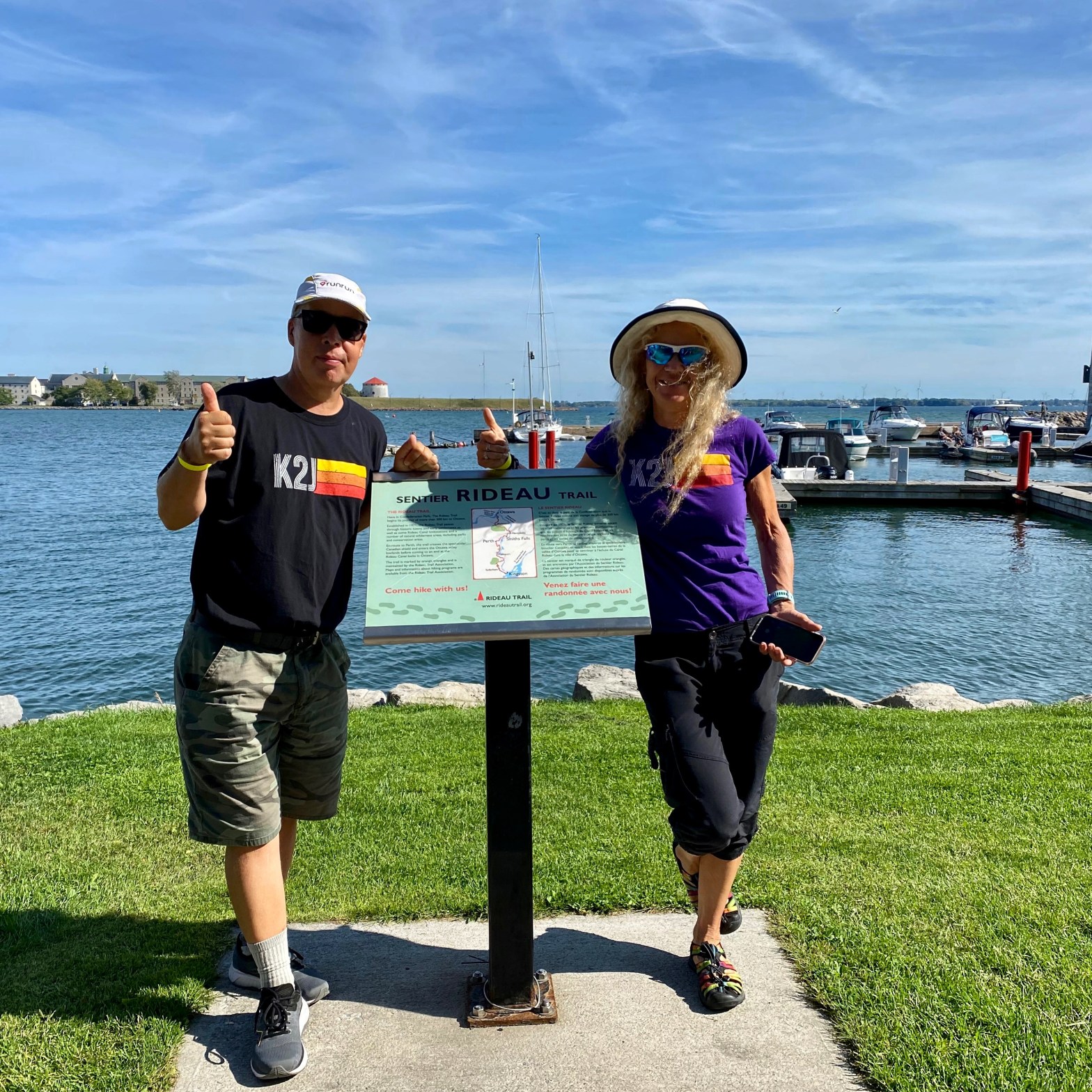
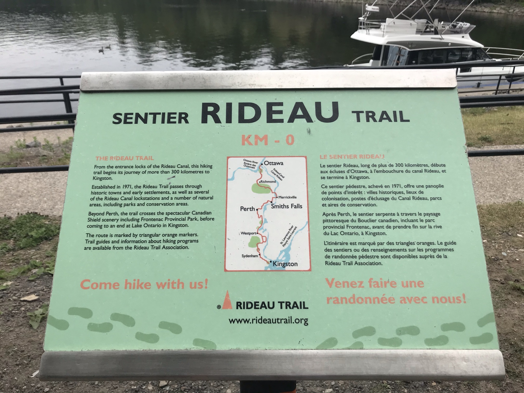
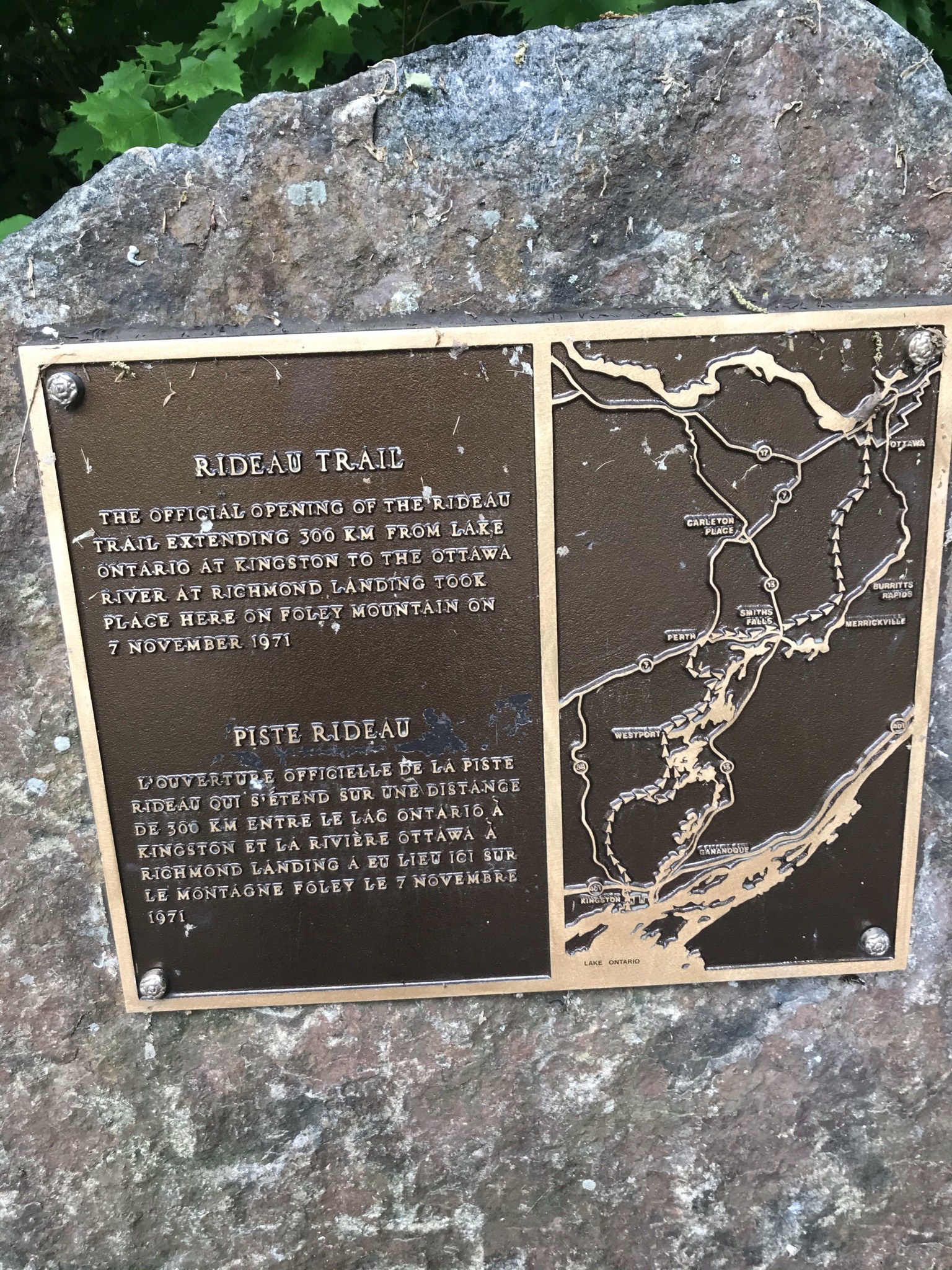
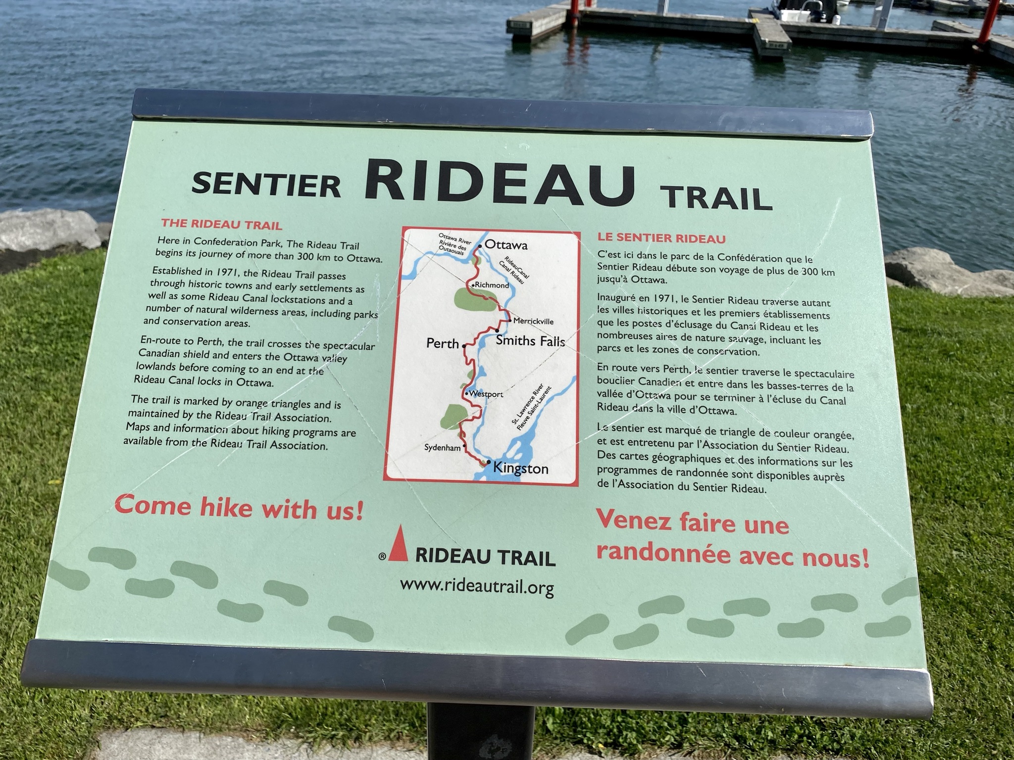
The Rideau Trail is a 327 km trail from Ottawa to Kingston which is maintained by the Rideau Trail Association. A non-profit volunteer group who do an amazing job of maintaining 387 km of trail.
After a year of pandemic living my husband Harold and I were looking for something to do close to home. We went for a walk one day and noticed the Rideau Trail markers. We knew about the trail, but we had never really given it much thought. We went home, googled it and then paid $26 each to join the club and start our adventure.
Some people do this trail over several years, others do it as one through hike. We decided to do it a section or two at a time with the goal of finishing the trail before the end of 2021. We did not do the sections in a logical order, although there was some logic to it.
We used different approaches for different sections:
- Sometimes we walked or ran there and back- this works fine if it’s not too far but walking 654 km instead of 327 km would be a bit much
- Sometimes we started at opposite ends of the trail and walked toward each other. We only have one car so one of us left the car at one end and the other drove it back for a pick up at the end of the hike. This works quite well and we did it for a while but it’s more fun to walk with a friend. It’s also safer particularly on the more remote sections of the trail.
- Sometimes we talked friends into walking with us and bringing a second car.
- By the end, we usually left a bike locked up at one end and I rode it back to pick-up the car at the end of the hike. It allowed us to walk together and cycling back on nearby roads worked for many but not all of the sections.
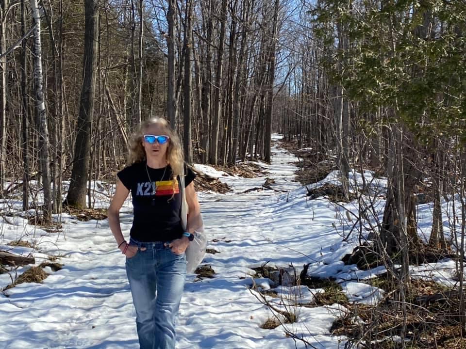
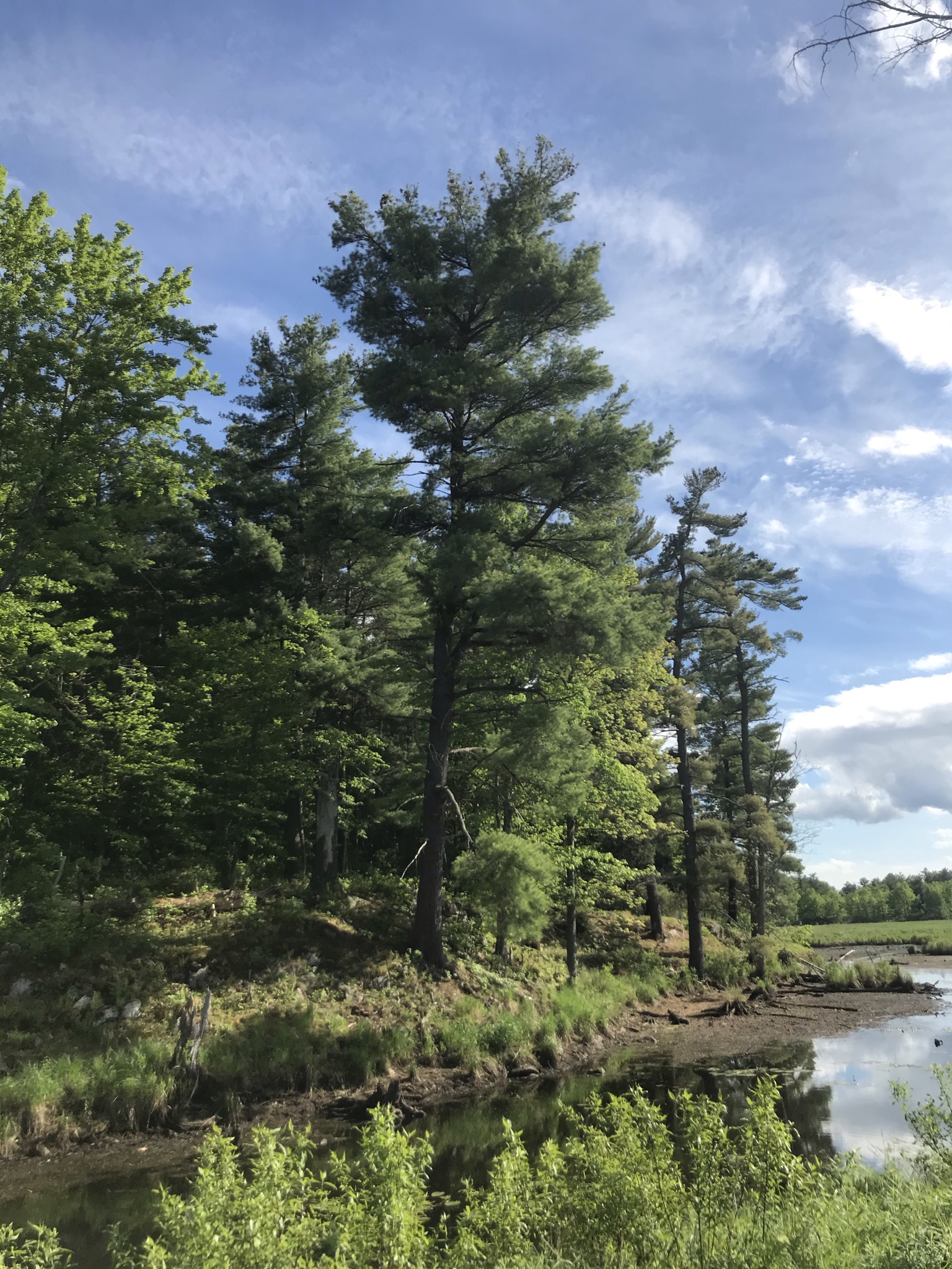
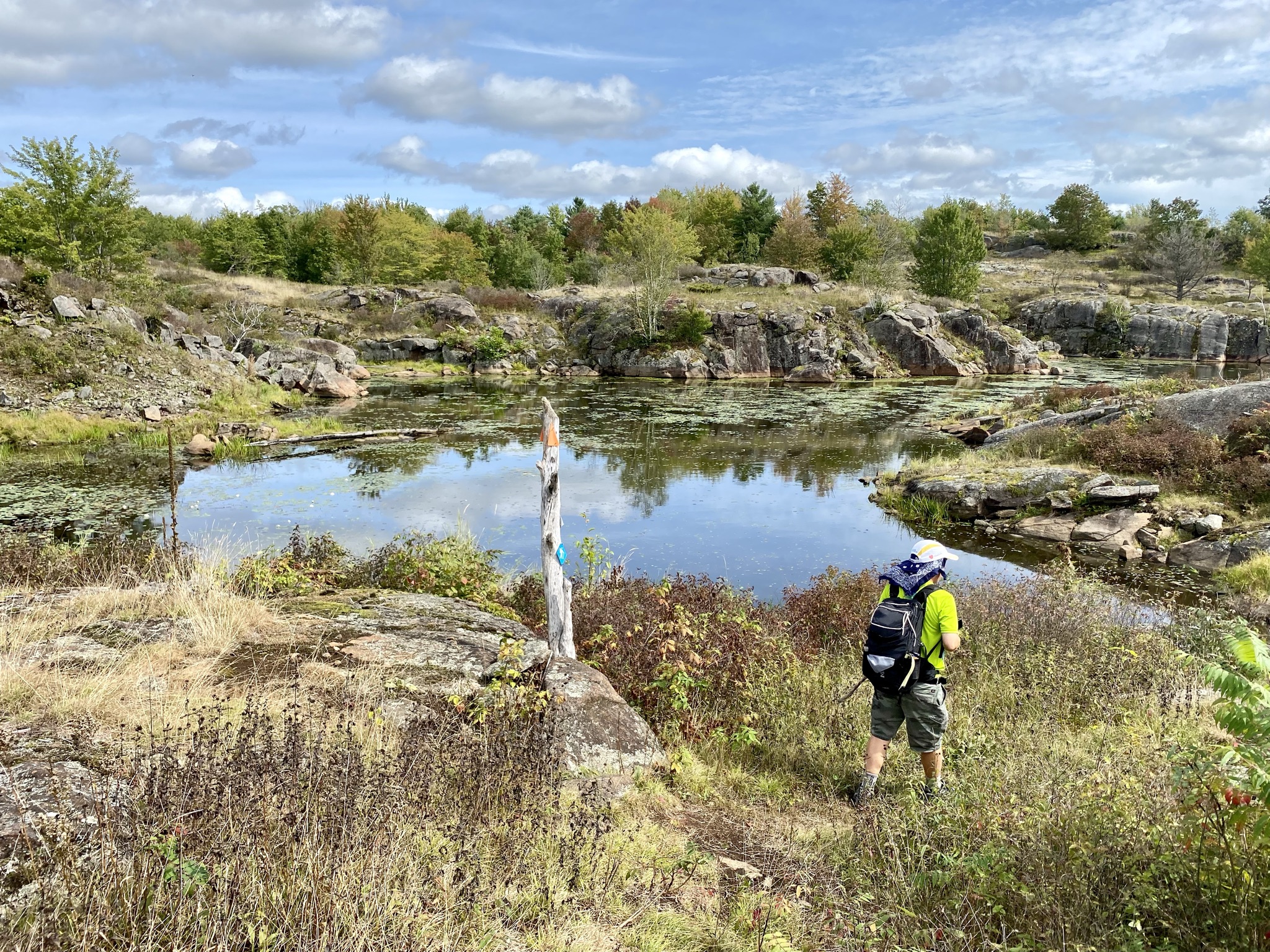
We started in March and ended in September, so we hiked through snow, heat, bugs and into the fall. Overall, it was a great experience. We discovered all kinds of trails, places and things close to home we never knew were there. We had most parts of the trail to ourselves which made it a great pandemic activity. The trail is generally well marked and maintained and last but not least we got a sense of achievement and a badge from the Rideau Trail Association.
Top Tips
- Either print the maps or download them directly on to your phone. The cell service is limited in many parts of the trail
- Trail markers with yellow tips point to Kingston, Trail markers with orange tips point to Ottawa. Sounds simple but “someone” hiked 4 km in the wrong direction.
- In general, the trail is marked more regularly on the trails than it is on the roads. If you have not seen a marker in a while look behind you for markers going the other way and/ or go back until you find one
- We saw no one for several km on parts of this trail. Make sure you are carrying basic safety gear and that you let someone know where you are going.
- Add the what3 words app to your phone. If you do need help and there is cell service it’s the best way for EMS to find you.
- The supplemental text to maps on the RTA website is useful for finding parking spots. It also has more detail on the trail descriptions.
Gear Suggestions
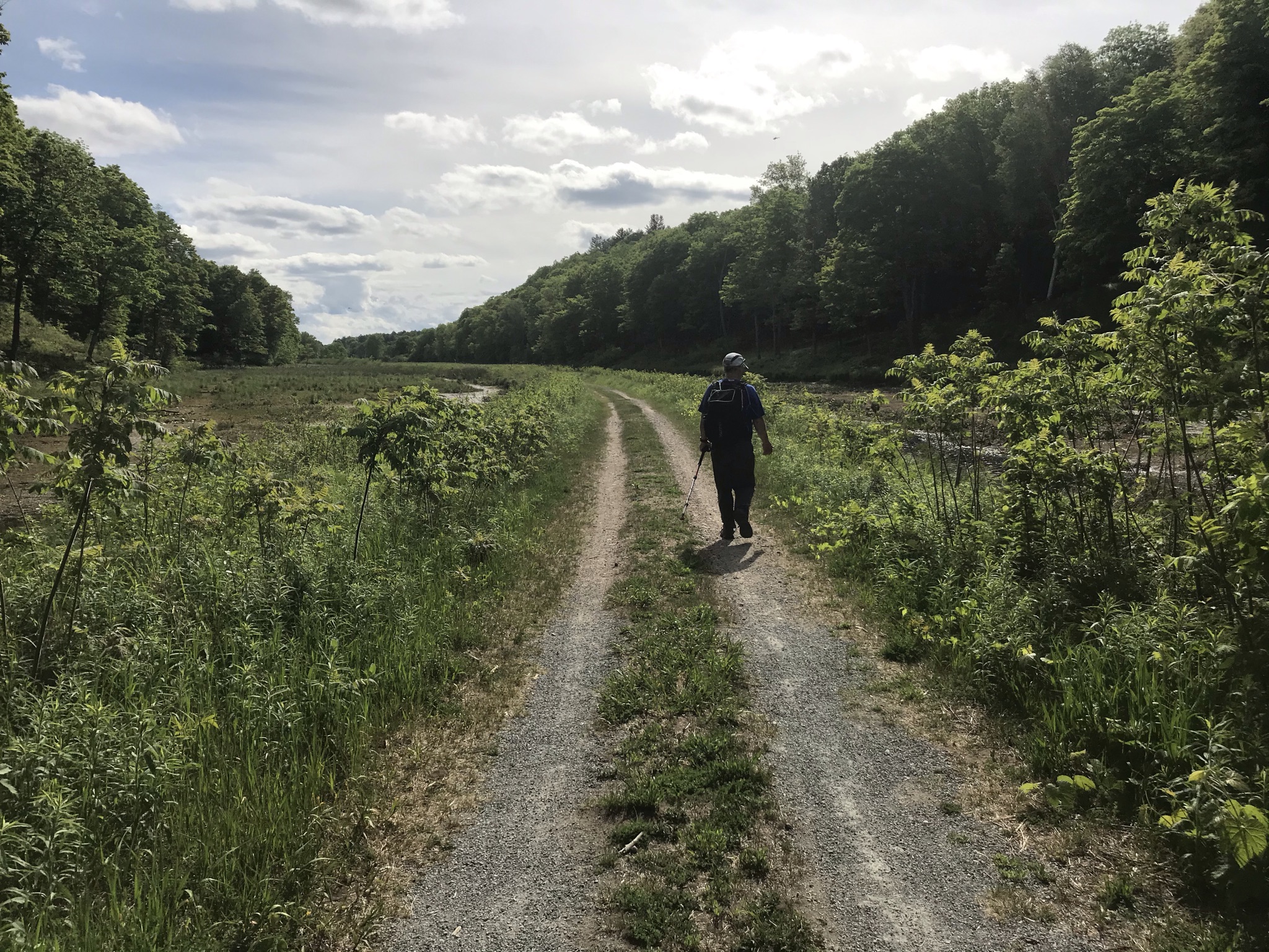
- We carried light daypacks when we were walking. Good for snacks and some basics for safety ( small first aid kit, compass, water, rain gear, headlamp).
- When we ran we used running hydration packs. Less room for gear but you can still carry some basics.
- Hiking poles were very useful on many parts of the trail. Great for getting around large puddles.
- We used hiking shoes for most of the trail rather than boots because we were not carrying full packs. Boots will give you more protection. When we ran we used trail runners not road shoes.
- In winter Micro-spikes are by far the best product on the market for traction on the trails on days when you don’t have enough snow for snowshoes or skis.
- Parts of the trail are prone to ticks. We found using Muskol Spray on socks and shoes to be relatively effective but make sure you check for ticks after your hike.(particularly maps 5, 6 and 7).
You can find the maps for each section on the Rideau Trail Website along with brief descriptions for each section. Here is a very brief overview of each map starting in Ottawa.
Map 19 Rideau Locks to Carling Avenue
This entire map is an easy walk or run along the NCC multiuse pathway. The biggest danger you are likely to face is an angry Canada goose and they can be mean! In winter you can ski or snowshoe on groomed trail between the War Museum and Westboro Beach and again between Britannia Beach and the end of the map.


Map 18 Nepean Richmond Rd- Carling Avenue
19A- about halfway through to 18G is on the multiuse trail which is paved in some places and crushed gravel in others. In winter some of the trails are groomed for skiing. After that you follow the trails through the Greenbelt. These are well marked but there are lots of side trails, so you need to watch for the Rideau Trail markers. This area can be very wet in early spring or after a lot of rain. The trails are a mix of groomed and ungroomed ski and snowshoe in winter. When it’s open you pass right by Kichesippi Beer Company at 18E.


Map 17 Fallowfield Shae & Garvin to Richmond Road
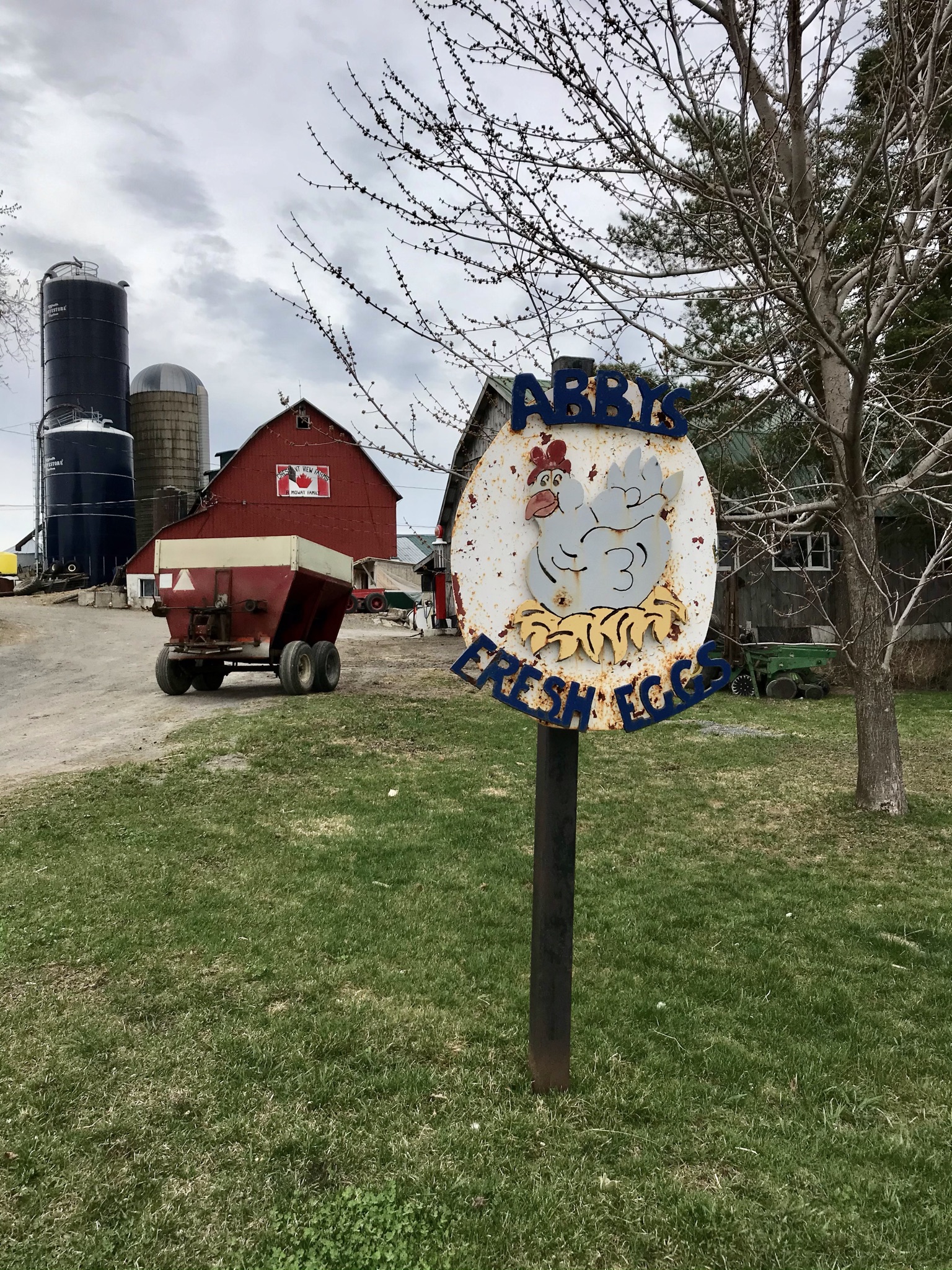
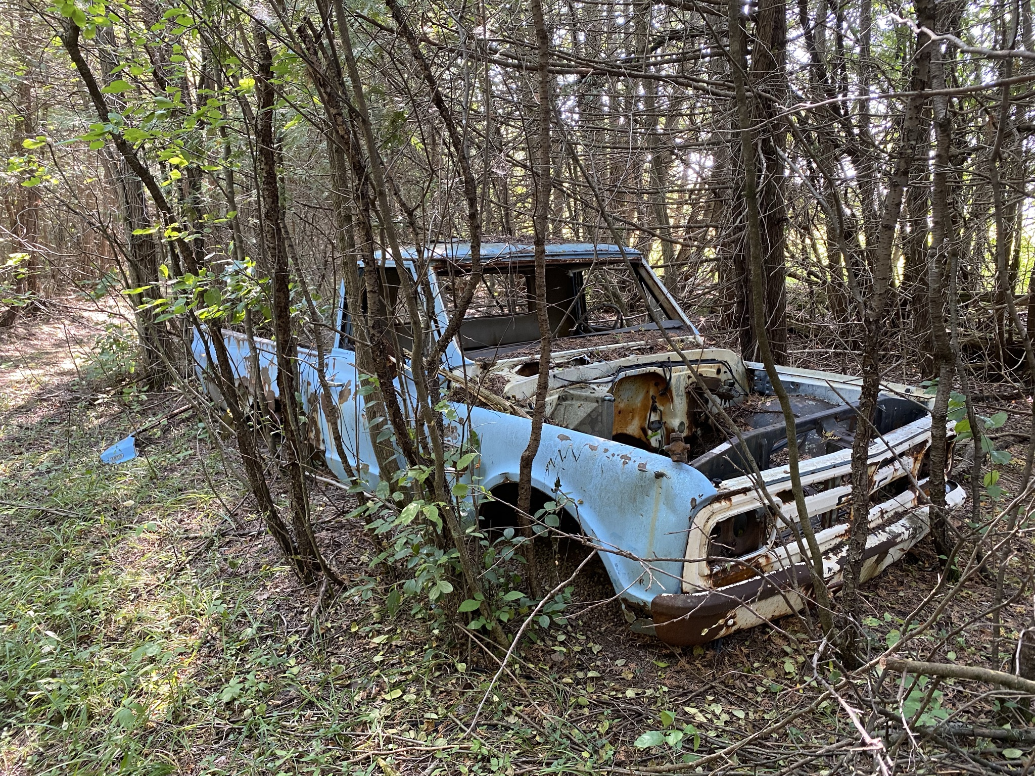
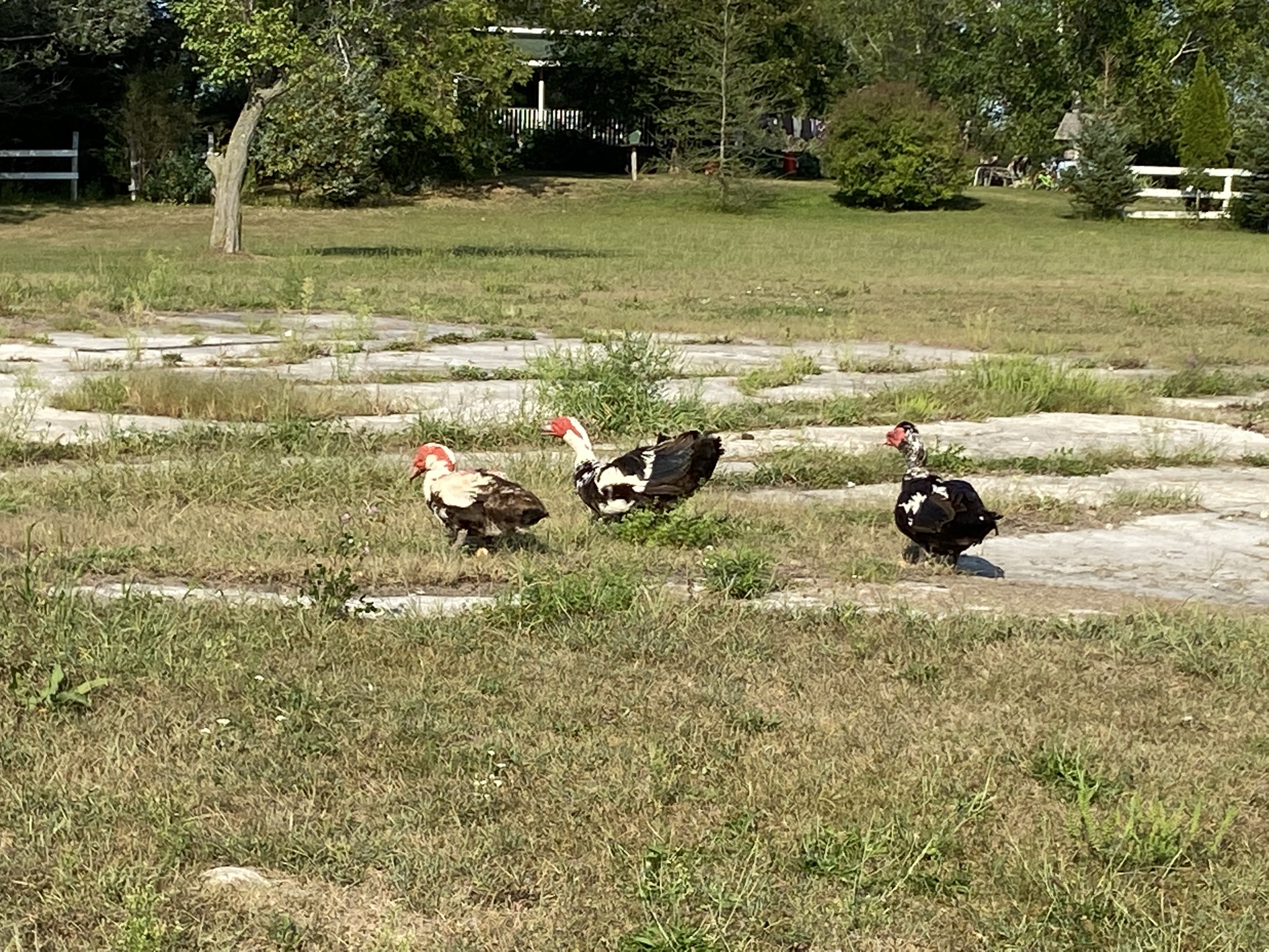
The section from 18A starts along Old Richmond road and then goes back onto the Greenbelt trails. At 17D you go back onto the road and you stay on the road until the end of the map. We found a safe in a ditch on this section! The roads are quiet but it’s not very exciting. Farm fresh eggs at 17D and we can confirm that the chickens are free range as they were in the middle of the road.


Map 16 Richmond Jock Trail – Sea & Garvin
The section from 17A to 16D is dirt track. We did it in the spring and the trail was flooded in some sections. The rest of the map is on paved or gravel road. I would suggest avoiding the section from 17A to 16D when it’s wet.


Map 15 Marlborough Forest Jock Trail to Rogers Pond
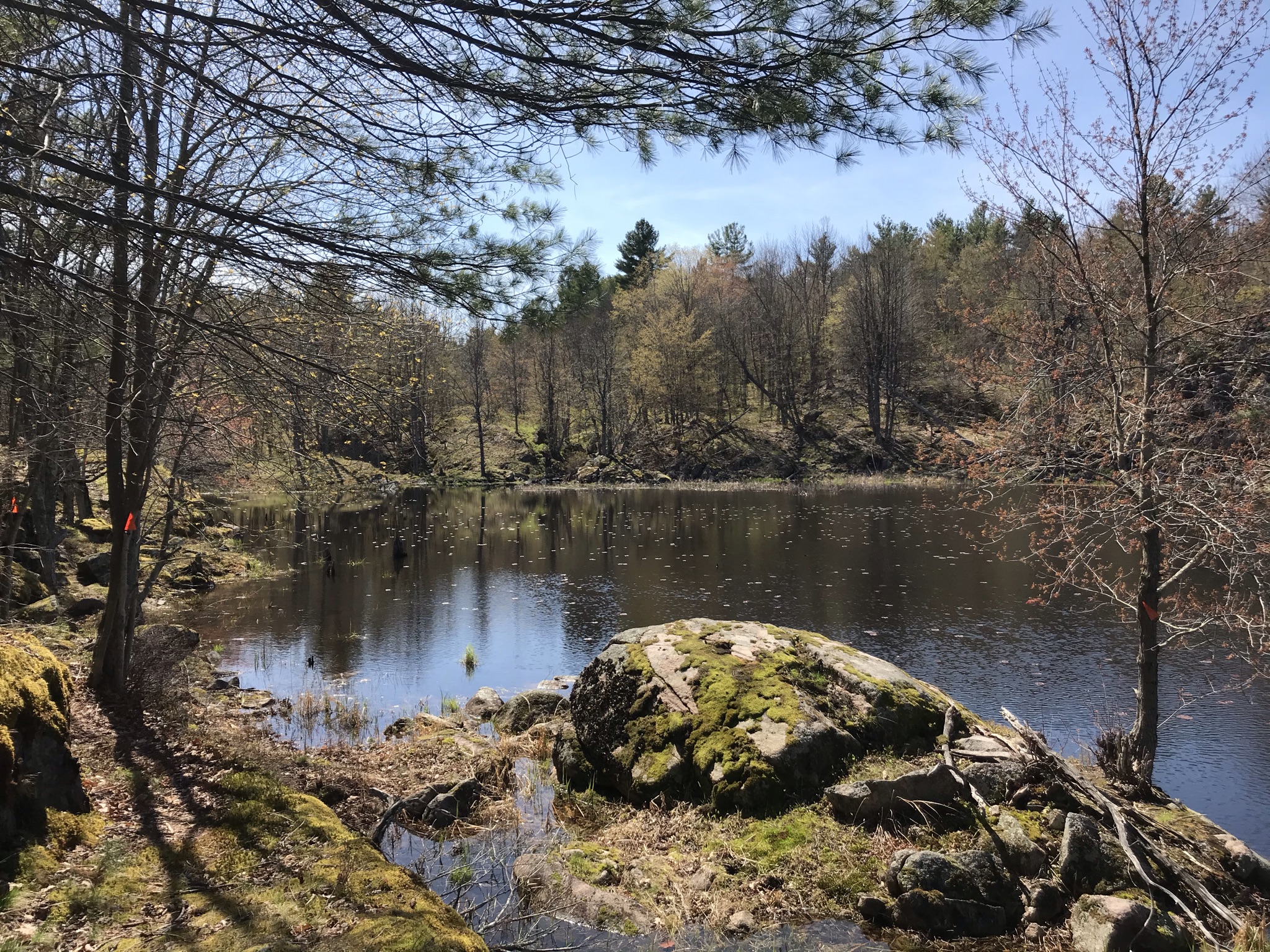
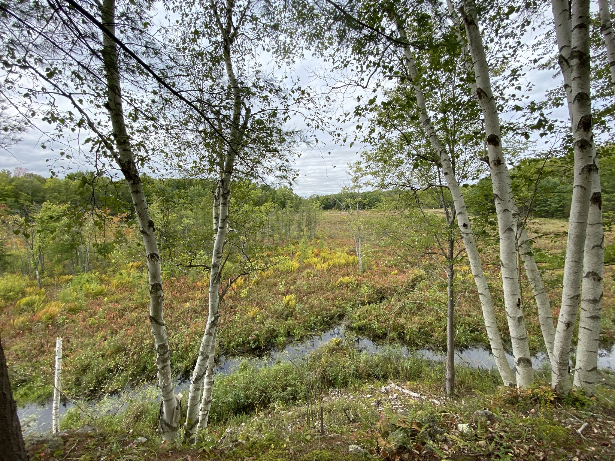
16A to 15E is all on a quite road. Once you enter into Marlborough Forest it’s all walking or mutli-use trail. Marlborough Forest has a lot of wetland. We did this section while the ground was still frozen in March to avoid the water and the bugs. The only hazard was snowmobiles. In the spring I expect it would be pretty buggy!
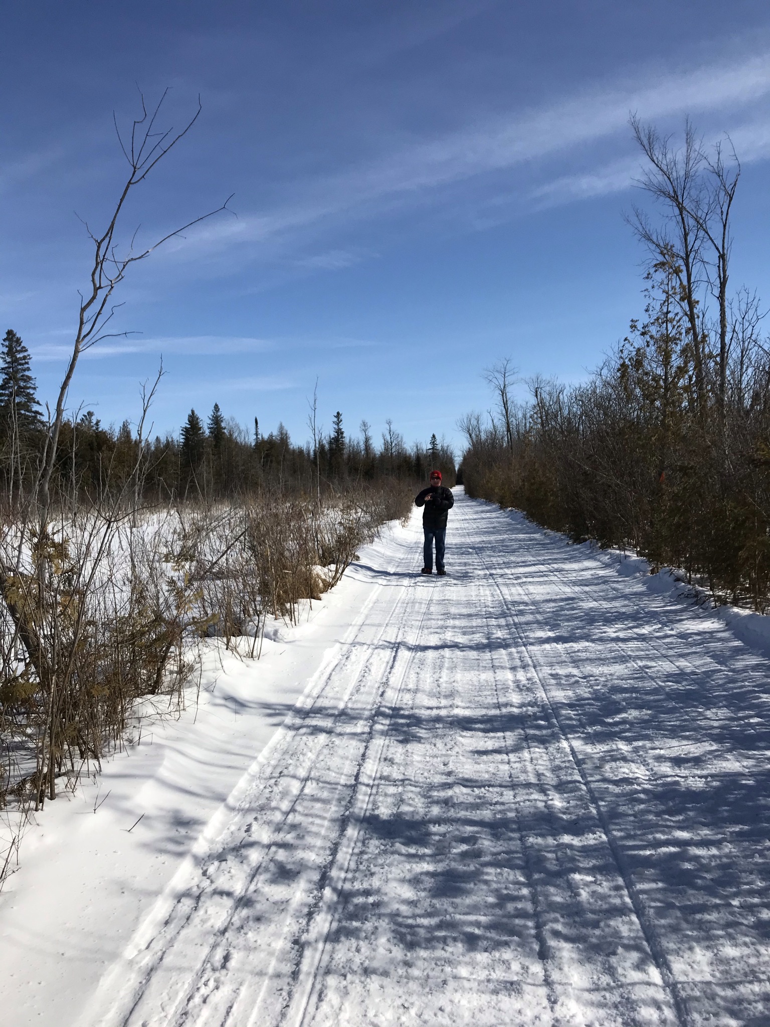


15A to 14C follows trails through Marlborough Forest. We did most of this section at the end of March so the ground was still frozen. We went back for an unfinished piece once things had started to melt and it was totally flooded. The section from 14C to 14A is currently closed so you have to walk the blue route along the road. I would recommend doing this section in winter. Both times we did it in the snow we only needed mirco-spikes.


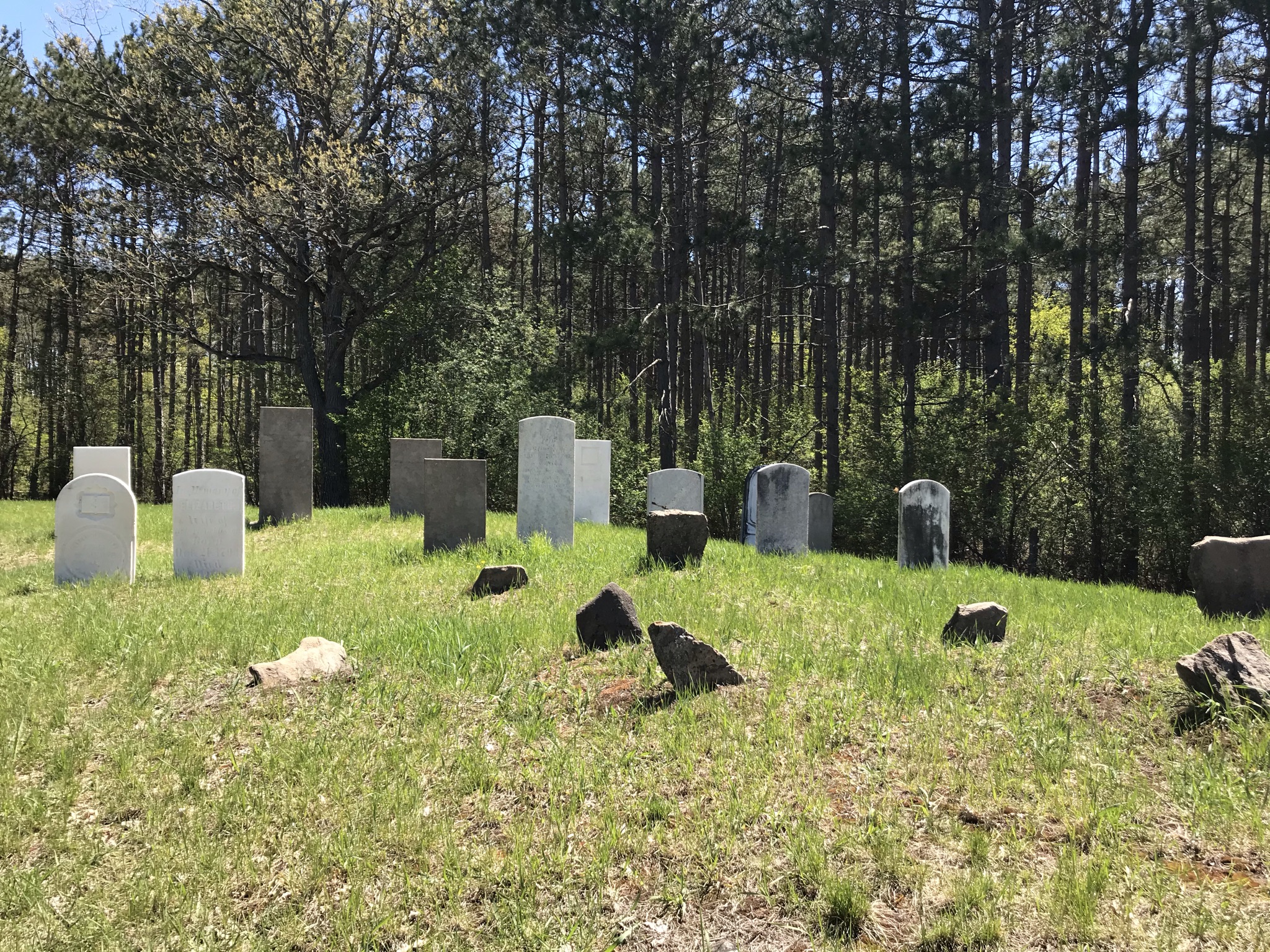
14A to 13D is entirely on the road. Most of it is quiet. 13D to 13B is on trails which we did in May it was still very wet. With large puddles across the trail. The last part of the map is on quiet backroads. There is an old burial ground off River Road which is an interesting side trip. The trailhead on Richardson Road is not easy to find if you are not looking for it.


This section is primarily on roads. The most challenging navigation is in the trek through Smith Falls. At one point the trail follows the side of a fence which appears to be the side of someone’s backyard. You also pass the local pot plant.
This section has some road walking and some trails. We managed to get lost between 11C and 11D by going the wrong way through a farmers field. The section along 43 had a lot of traffic and we had a little trouble finding the trail off 43 past 11B it goes through the back of some houses. Once you get on to it the trail is quite nice.


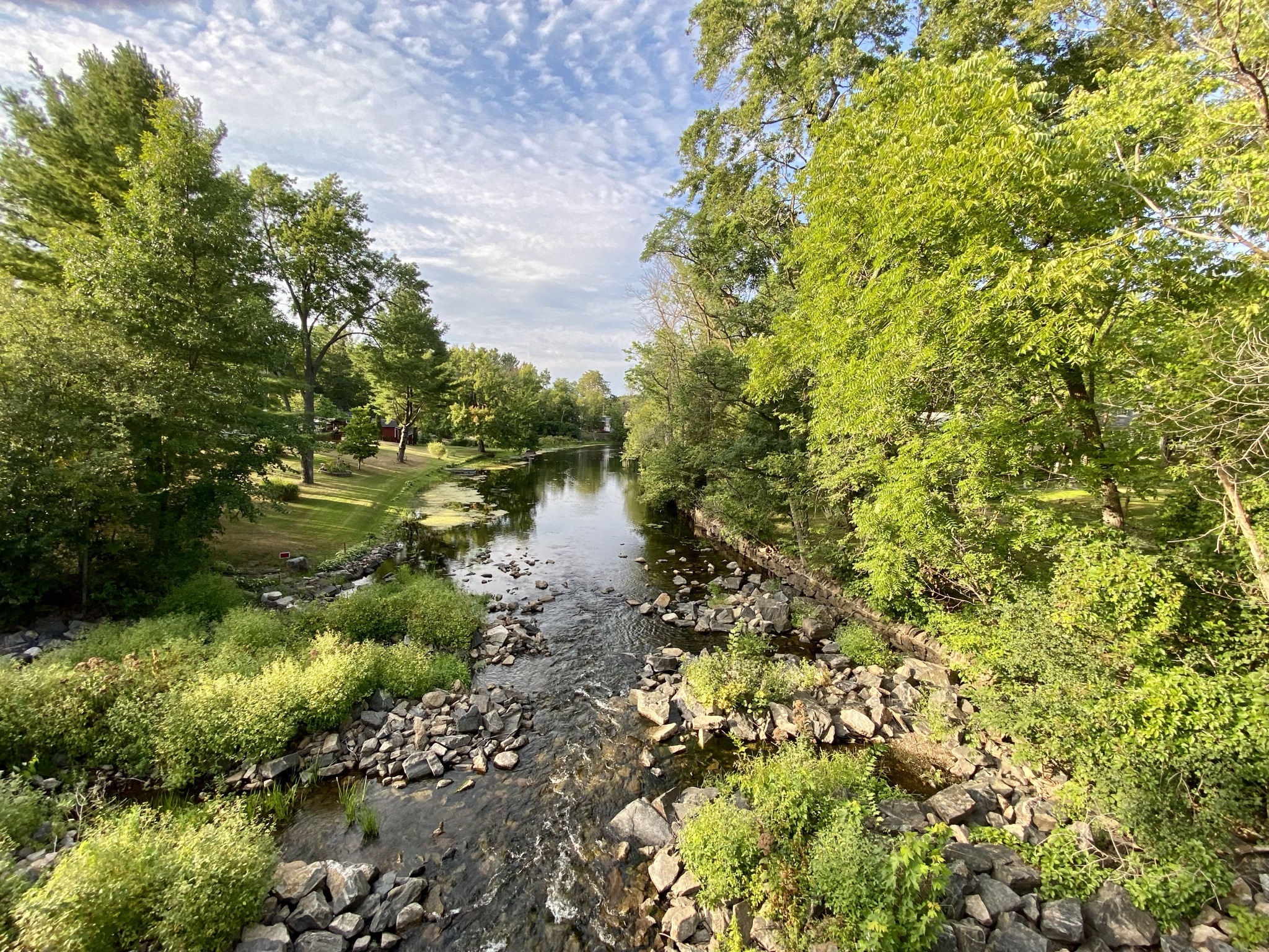
The trail from map 11 continues until11A and then takes you through the side of a field to the path along the Tay. The field was a bit wet but it was a nice walk. The walk through Perth is also quite scenic. We did the Rideau Trail 50 k challenge which started at 10D. I trail ran this section in both directions. It’s primarily on trails with a few back road sections.


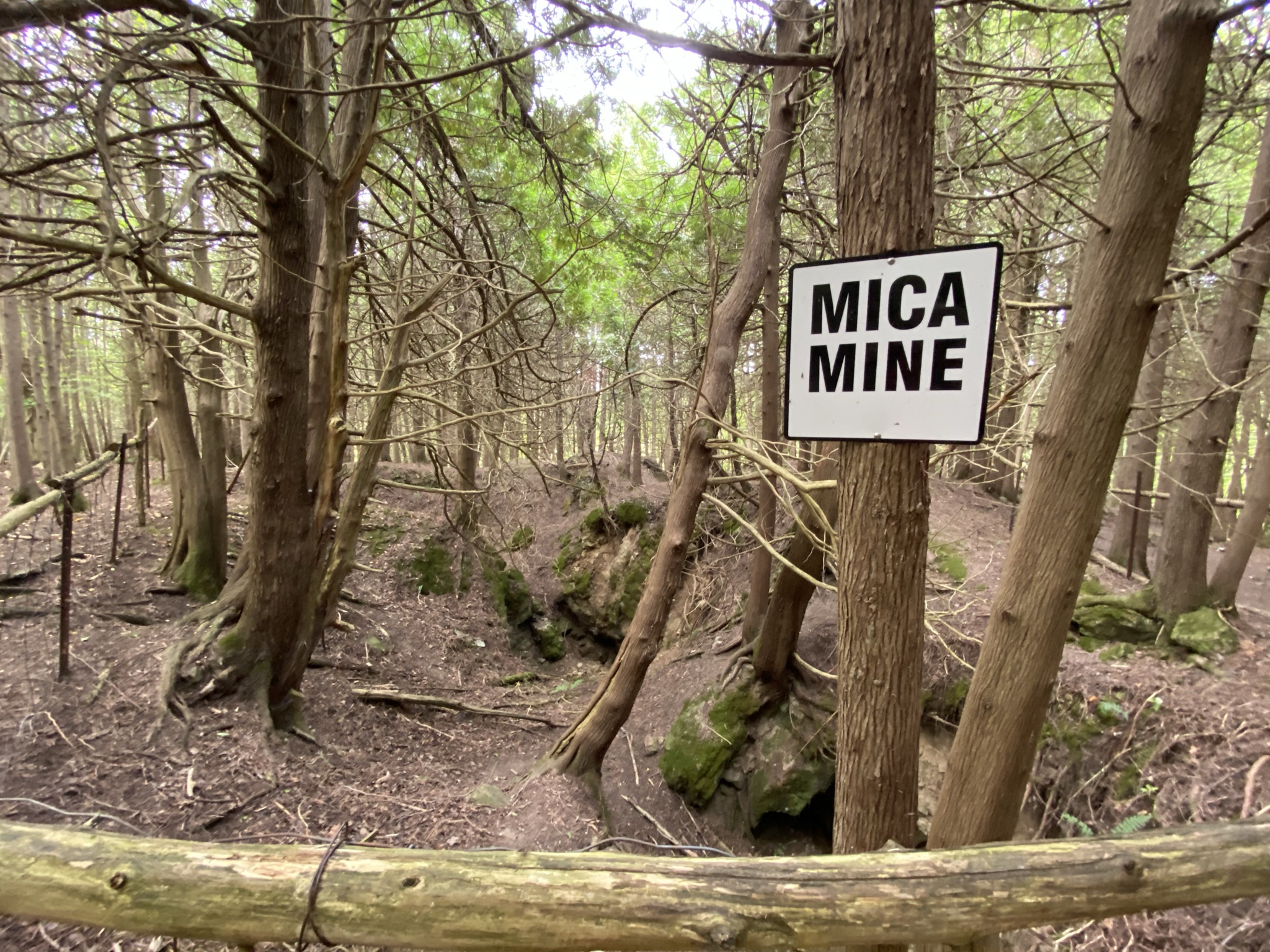
Everything up to 9B on this map was also part of the 50K challenge so I ran it. The area through Mica Mines has some technical spots of running but generally speaking this is a very nice section of the trail. Lots of small ups and downs but it’s all trail which is nice. 9A to 8G is in Murphy’s Point Park. You can park in the lot at Lally Homestead but you need to buy your park pass from the park office which is a few km away.


This is another nice section. Mostly trails with a walk down North Shore Road, which is basically a cottage road, at the end.


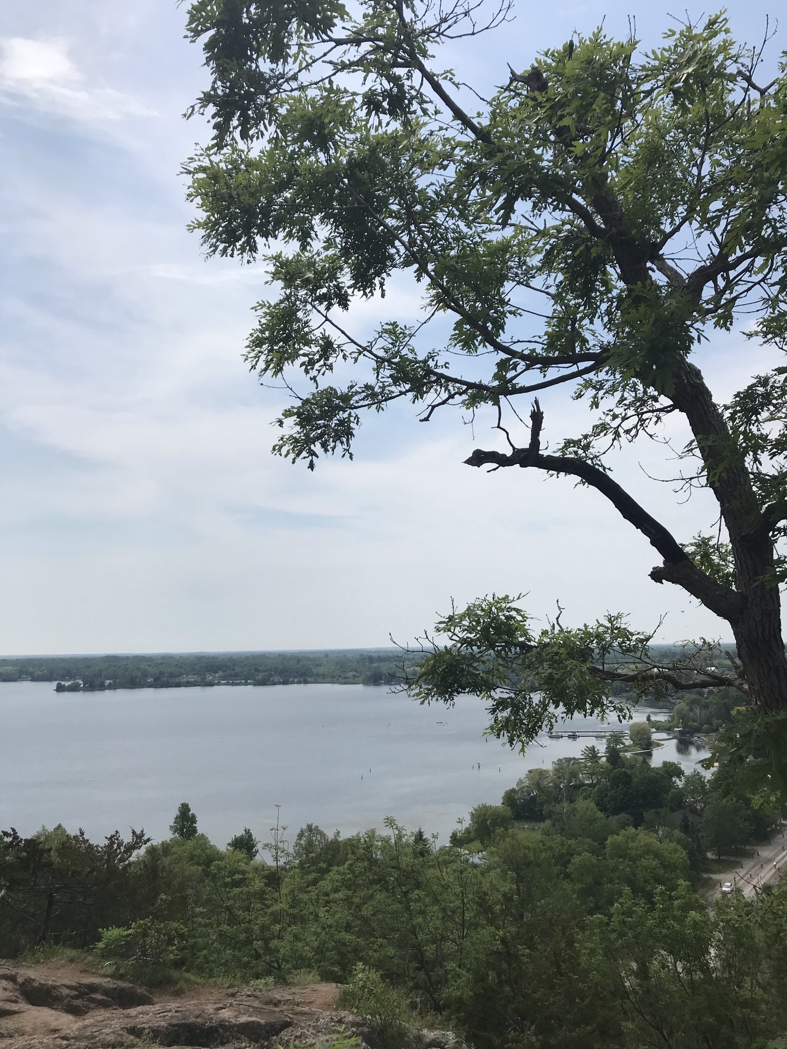
From North Shore Road you move onto trail and go through Foley Mountain Conservation area. You stay on trails until 7C. It’s all road from there until the end of McAndrews Road but the roads are pretty quiet. Overall a pretty section even with the long on road section. There are a lot of ticks in this area so dress for it and use off or Muskol on your legs.

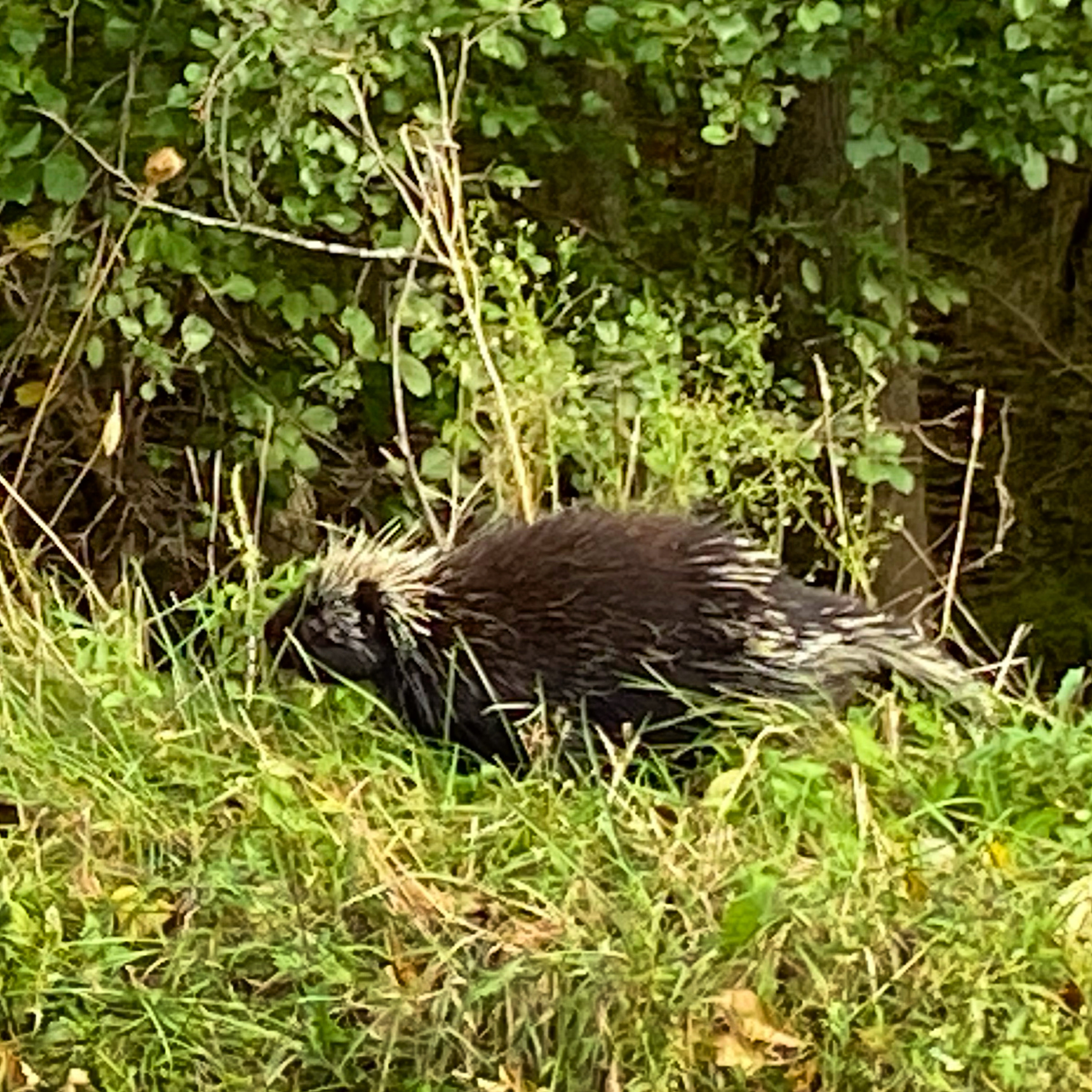
This is another nice section of the trail. 6D to 6B is pretty isolated. We did this section walking towards each other and there was a lot of coyote skat on the trail. Also some larger skat I could not ID. I sang to myself for much of this section just to make sure any animals knew I was coming. At 6B you come out onto the Catgraqui Trail. When you leave that trail again the path becomes quite twisty but it’s a pretty walk. At 6A we used the side trail to get to our car.


This is another nice section until you get to Perth Road. The walk along Perth Road is fairly short but there is lots of traffic. 5C is the last place you can leave a car before you cross Frontenac Park. We parked a car on Maple Leaf Road at 5D and found an outhouse at a random spot along the Cataraqui Trail. There is lots of Posion Ivy in this area!

The trail into the park and the trail through the park are both scenic and relatively easy walking. From 4F past 4E you are walking on the road. The section along Gould Lake is actually quite technical with many ups and downs. It gets easier at 4C. From there you have some road and some trail but the roads are quiet.

4A to 3D is all road with one short trail section. From 3D to the end of the map you are on rail trail. We ran that section comfortably.


Most of this map is on the K&P rail trail which is an easy walk. Between 2D and 2B a good part of the trail goes through the woods and through the side of fields you end up back on the K&P. The part though the fields was a bit of a slog…


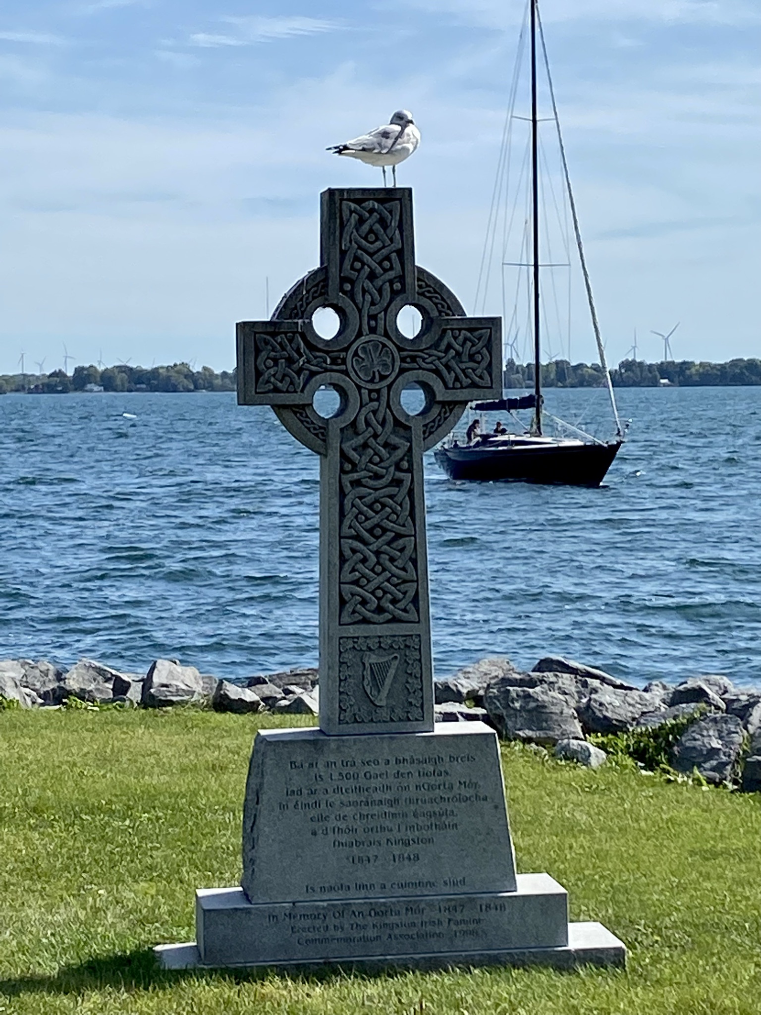
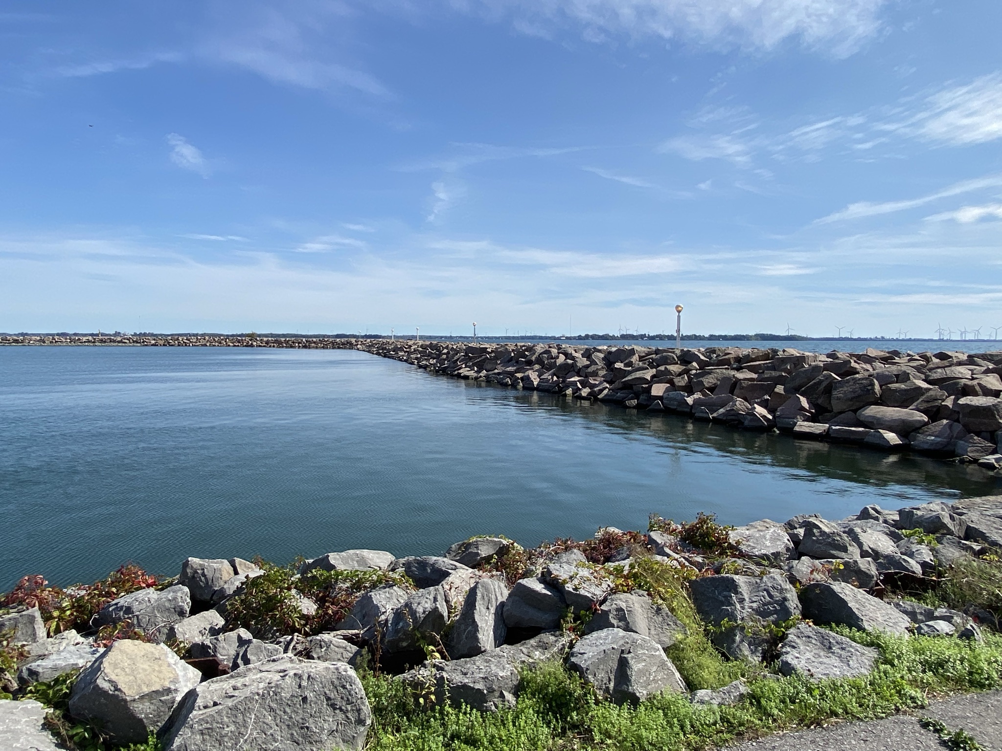
This map is surprisingly long. You pass through a graveyard, a train station and some park and side roads before you end up on the waterfront. When we did the trail there was a lot of construction along the waterfront and the trail was not that easy to follow but you can’t get too lost because you are always between King Street and Lake Ontario.
| Date | Start | End | Distance | Comments |
| 25-Jun | 19H | 19F | 3.6 | Hike to finish the Ottawa segment with Judy, Chris, Sam. There and back. |
| 19-Apr | 19F | 19B | 9.1 | Hike with Judy – E2E with exchange 1/2 way |
| 29-Mar | 19B | 18G | 8.5 | Hike one way, Judy did round trip run for car shuttle |
| 21-Mar | 18G | 18E | 3.4 | Warm spring day and did round trip together |
| 22-Mar | 18E | 17D | 9.0 | Hike with Judy – E2E with exchange 1/2 way – last cold day |
| 09-Apr | 17D | 17B | 8.0 | Hike along road sections E2E with exchange 1/2 way |
| 02-Apr | 17B | 16C | 13.5 | Hike along road sections E2E with exchange 1/2 way |
| 16-Apr | 16C | 15E | 8.7 | Hike along road sections E2E with exchange 1/2 way |
| 12-Mar | 15E | 15D+ | 2.8 | Round trip on slushy snow |
| 08-Mar | 15D+ | 15B | 6.2 | Walk through woods with Judy – there and back |
| 15-Mar | 15B | 14C | 14.7 | Hike through snowy woods with E2E with exchange 1/2 way |
| 12-May | 14C | 13C | 18.2 | Hike together; Judy does bike shuttle. |
| 18-May | 13C | 12B | 20.8 | Hike along trail sections for E2E Exchange – forgot bike lock to shuttle! |
| 09-Jul | 12B | 11C | 10.3 | Hike section enroute to cottage – Judy does Bike Shuttle |
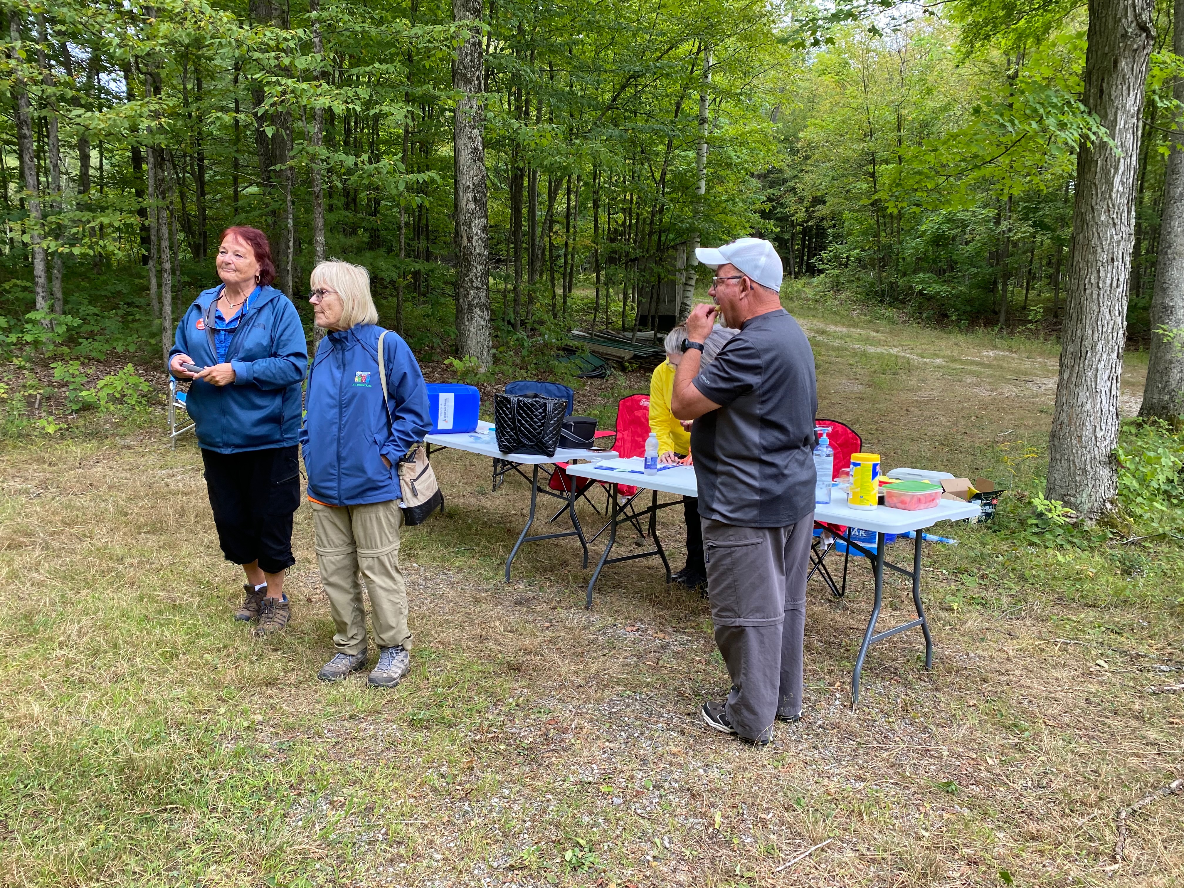
| 27-Aug | 11C | 10D | 16.1 | Harold and Judy – hike to Perth for overnight stay for event |
| 28-Aug | 10D | 9B | 23.7 | Judy did this as round trip, extreme hike (trail run) |
| 28-Aug | 10D | 9E | 14.6 | Harold and Paul, with navigation errors corrected. |
| 16-Sep | 9E | 9B | 9.1 | Harold hiked portion missed on the Extreme Hike day |
| 28-Aug | 9B | 9A | 2.9 | Hiking with Paul – can’t believe we went the wrong way! |
| 16-Sep | 9B | 9A | 2.9 | Judy does this round trip as trail run while Harold finishes missed portion |
| 13-Sep | 09A | 08C | 18.4 | Hike with Judy to signpost, bike back to car for shuttle |
| 06-Jun | 08C | 07C | 16.9 | Hike this with Robin and Paul, swap passengers to pair up car shuttle |
| 03-May | 07C | 06A | 26.2 | Stay at B&L cottage. Hike solo, with Judy coming in from far end to shuttle the car. Long day! |
| 26-May | 06A | 05D | 17.0 | Hike with Judy from B&L Cottage. Judy did Bike Shuttle to get back to car. |
| 15-Sep | 5D | 4F | 15.0 | Hike with Judy to Frontenac park Ranger station, bike shuttle back to car |
| 14-Sep | 4F | 3C | 20.4 | Hike with Judy to Sydenham, bike shuttle back to car |
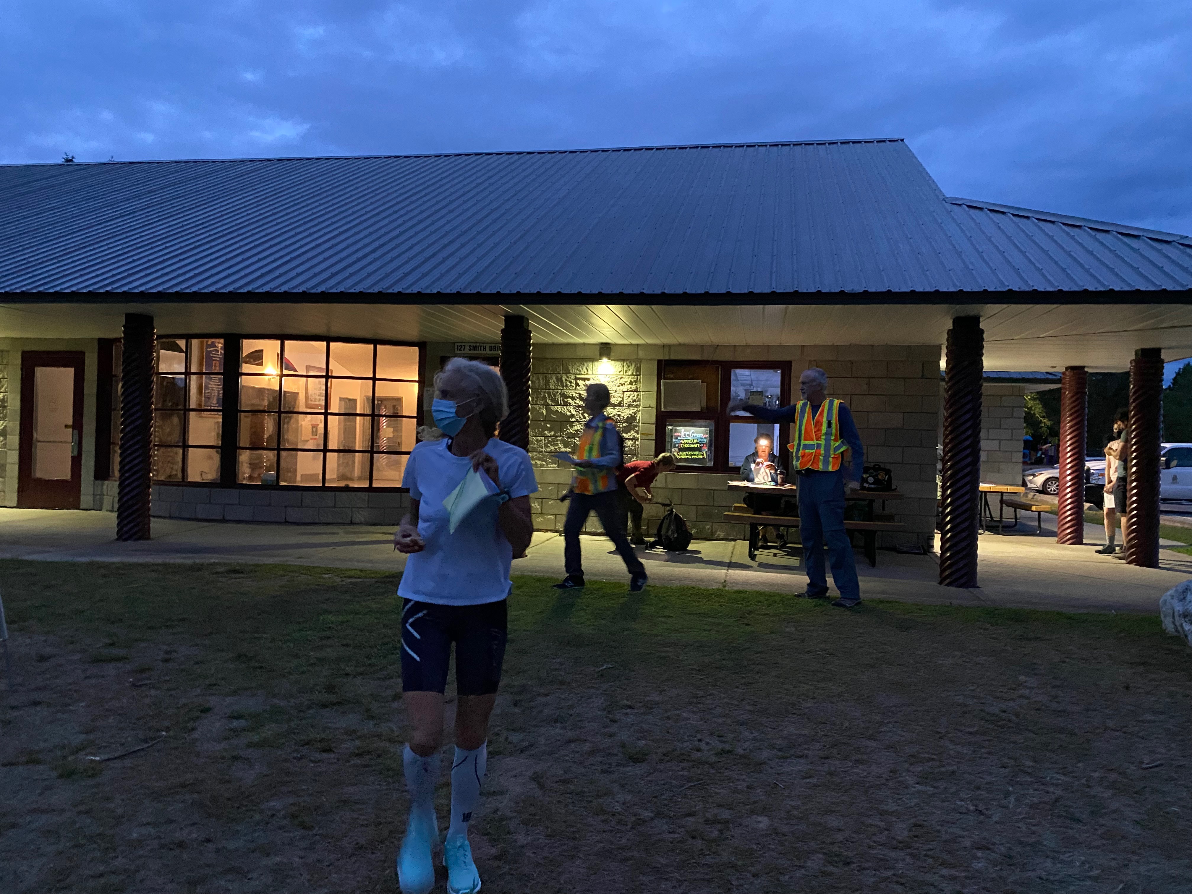
| 24-Sep | 3C | 1D | 27.1 | Trail run for 11.5K, bike shuttle for middle bit, and 2.4 run on the end. |
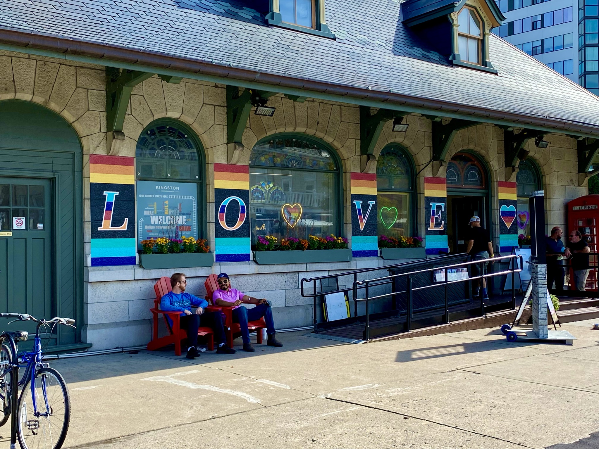
| 25-Sep | 1D | 1A | 15.0 | Morning 7.5K run, and then hike from where we left off – and then final 3K to Pride Festival. |

Reblogged this on Run K2J.